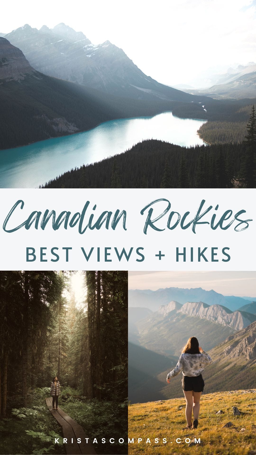
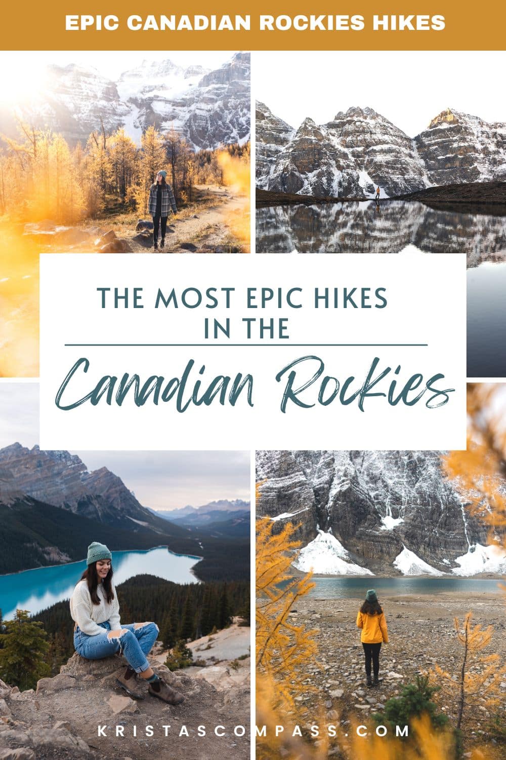
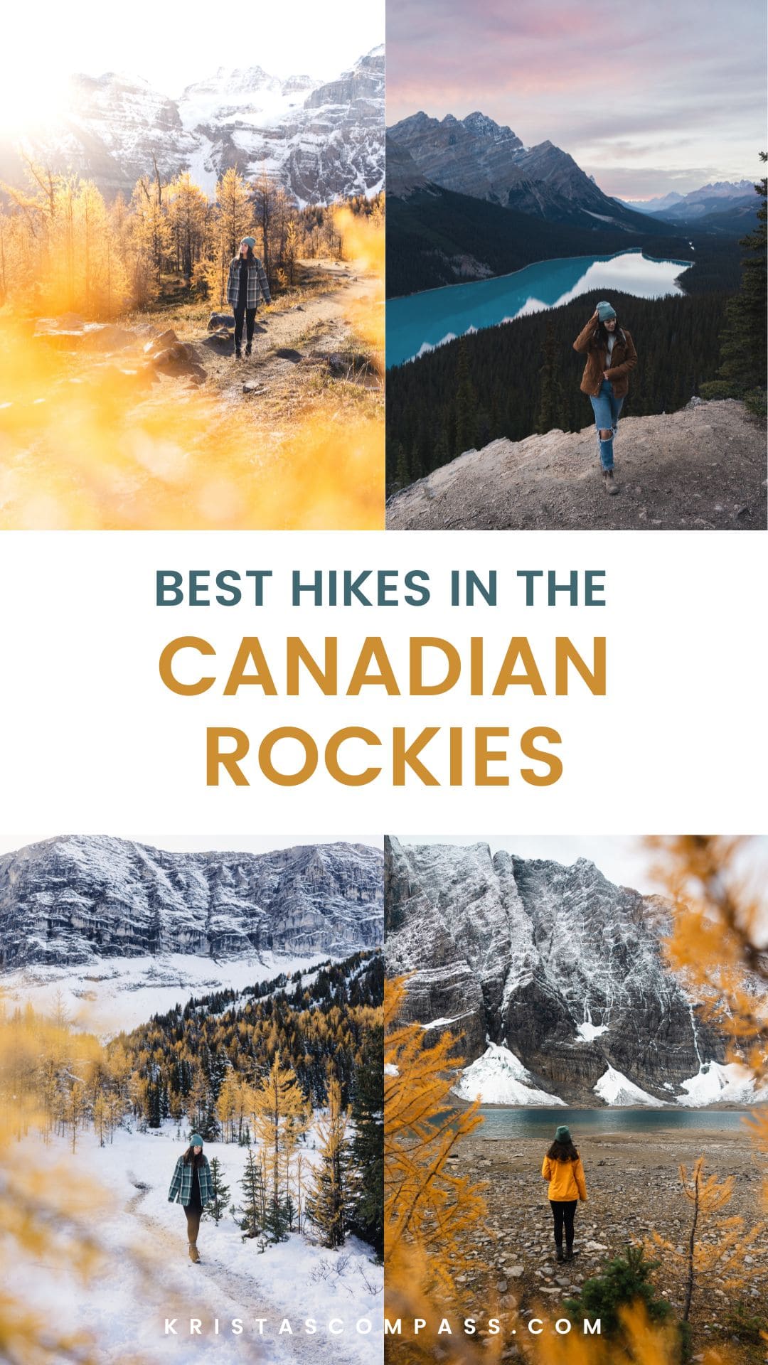
12 Best Hikes In The Canadian Rockies You Need To Do (with photos)
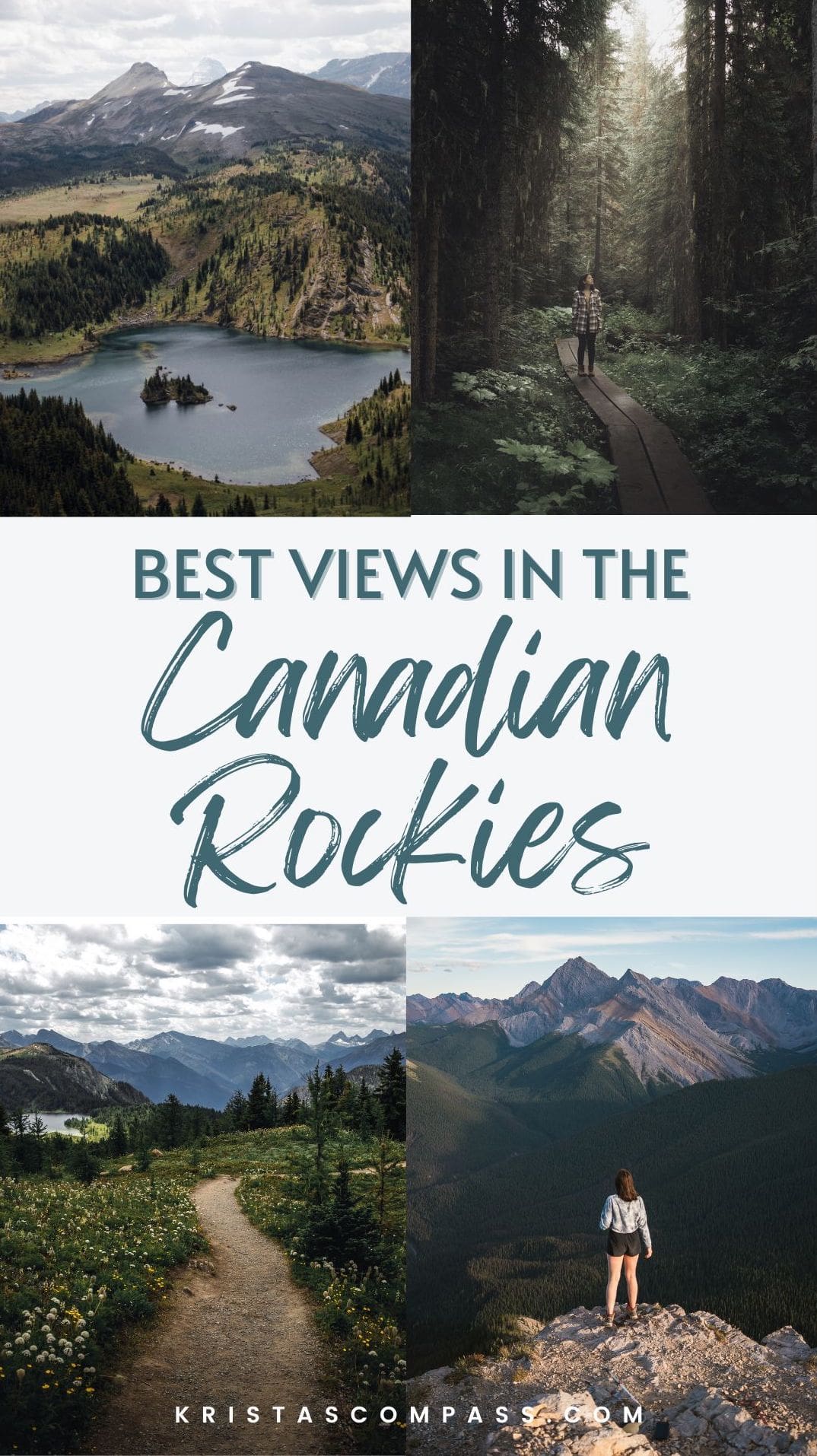
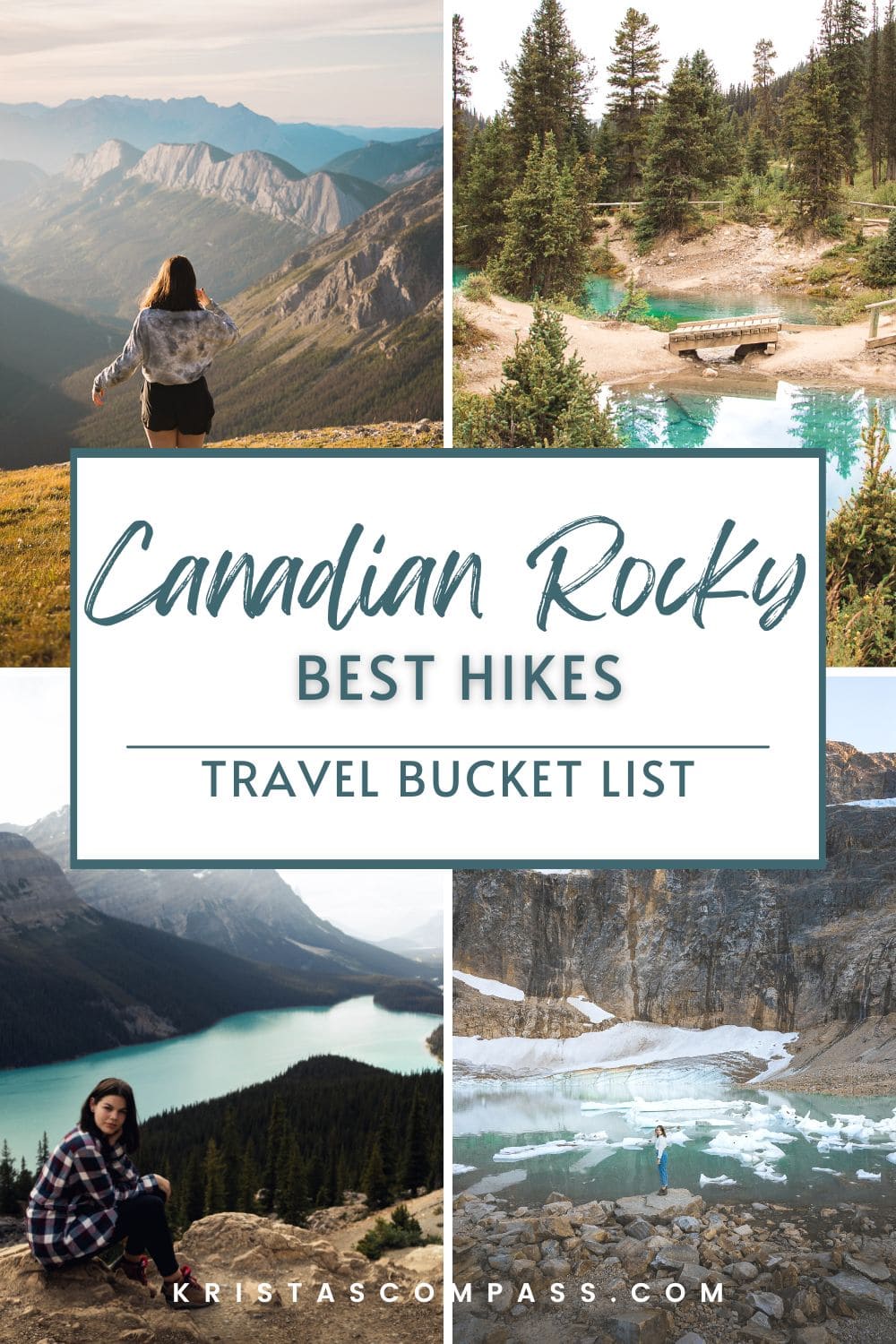


Canada is so full of incredible views spread across its land! The Canadian Rockies are one of its best features and absolutely worth visiting. Here are the 12 best hikes in the Canadian Rockies that I have done so far.
I haven’t done them all, I haven’t even done a lot. But these are the hikes that I loved the most!
Check out my full guides on Jasper National Park and Banff National Park by clicking on the photos below once you’re done here!
Related Canadian Rockies Posts
Complete Guide to Banff National Park
Icefields Parkway Stops You Can’t Miss
Hiking Sulphur Skyline Trail, Jasper‘s Most Epic Hike
Complete Guide to Jasper National Park
Mount Edith Cavell Hikes
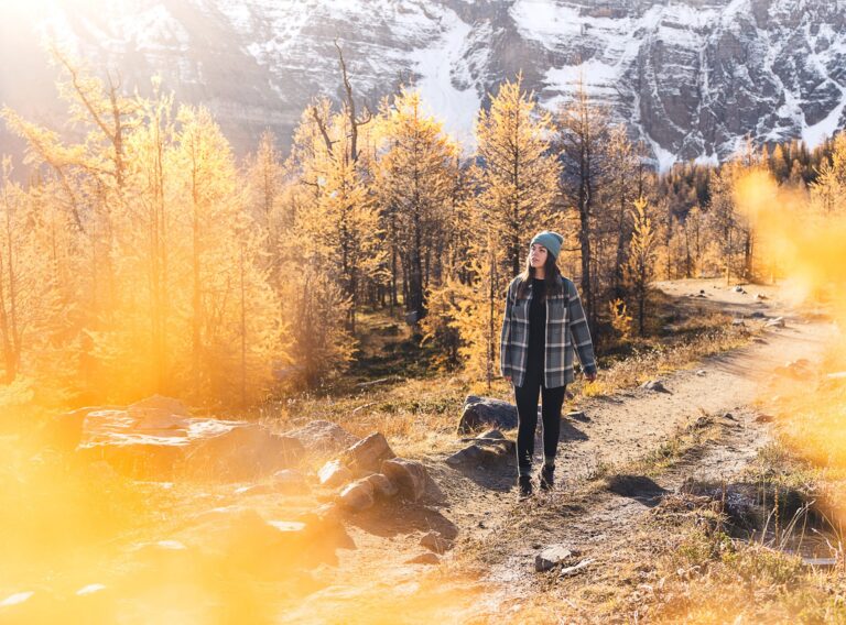
1. Larch Valley – Banff National Park

Hiking Stats
Length: 8.9km
Elevation Gain: 564m
Rating: Hard
Route Type: Out and Back
Location: Banff National Park
About The Trail
Larch Valley is one of the most breathtaking hikes in the Canadian Rockies. This is one you absolutely cannot miss, especially if you are in the Canadian Rockies during the fall. You must see the golden larches.
This hike starts at Moraine Lake and is steep and you’ll be trekking up switchbacks most of the way. You’ll pass through forests and meadows with amazing views of the mountains.

Once at the top, you’ll see some beautiful larch forests, and if you keep going you will find this beautiful spot where you can take some stunning reflection photos of the mountains.
Moraine Lake is closed to personal vehicles. I took the Moraine Lake Bus Company shuttle bus to get there. You can also bike in or take another bus company. More information on that here.
Tip: Bring some food to enjoy at the stunning views!
Save this post for future Canadian Rockies trip planning!
2. Floe Lake – Kootenay

Hiking Stats
Length: 20.3km
Elevation Gain: 976m
Rating: Challenging
Route Type: Out and back
Location: Kootenay National Park – directions here
About The Trail
Floe Lake is, by far, one of the best hikes in the Canadian Rockies that I have done so far. It starts off fairly easy, being fairly flat with a few bridge crossings. Along the hike you will pass through forest, meadows and pink fireweed flowers.
The hike gets more steep as you go along, but the most difficult part of the trail is the last few kilometres up to Floe Lake. The switchbacks are no joke! But, you have so many beautiful views along the way.

Once you get to the top, you will find the Floe Lake Campground, and the insanely gorgeous Floe Lake. It’s a small glacial lake lapping against massive granite cliffs. It’s absolutely breathtaking.
This is a definitely a hike that I recommend doing as an overnight hike. You can book your campground here, make sure to book in advance.
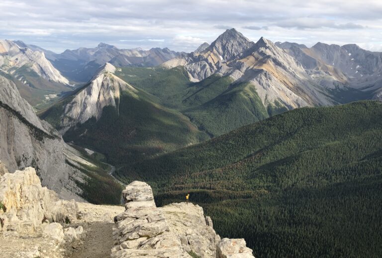
3. Pocaterra Ridge – Kananaskis Country

Hiking Stats
Length: 9.8km
Elevation Gain: 708m
Rating: hard
Route Type: point-to-point
Location: Kananaskis Country – directions here
About The Trail
This is a beautiful hike in Kananaskis Country and is definitely worth doing. You will need a park pass which you can purchase here, or at the office. Unfortunately, I didn’t have time to complete the full hike, but the views I saw were insanely gorgeous. I went in early October and there was already a bit of snow and it was very slippery!
You can either do part of the hike and hike back to the parking lot, or you can bring two vehicles and park one at Little Highwood Pass and the other at Ptarmigan Cique at the start of the hike.
This is a perfect day hike and is very popular in the fall for the golden larches.
4. Wilcox Viewpoint – Jasper National Park

Hiking Stats
Length: 9.3km
Elevation Gain: 486m
Rating: Moderate
Route Type: Out and back
Location: Jasper National Park near the Columbia Icefield – directions here
About The Trail
Wilcox Viewpoint is one of those hikes in the Canadian Rockies that you need to add to your bucket list. It’s a fairly popular hike with insanely gorgeous views of the Columbian Icefield. If you want a more challenging hike you can scramble up Wilcox Pass to Wilcox Peak and Tangle Ridge.
The majority of this hike is a steady uphill incline through forests and along the edge. Eventually, you’ll reach some alpine meadows with some really stunning views. I saw a ton of bighorn sheep up here but there is also potential to see some bears, elk and other smaller critters.
Finally, you will finish off the rest of the hike and reach the viewpoint where you can see a view of the Athabasca Glacier and Columbian Icefield.
Tip: Bring snacks and water! Trust me you’ll need it!
5. Edith Cavell Meadows Trail – Jasper National Park

Hiking Stats
Length: 7.4km
Elevation Gain: 555m
Rating: Challenging
Route Type: Loop
Location: about 45 minutes south of the town of Jasper – directions here
About The Trail
Edith Cavell Meadows Trail starts as a paved path and soon turns into a natural path. Along this hike, you can see spectacular views of Mount Edith Cavell and Angel Glacier from higher viewpoints than the Path of the Glacier Trail.
Most of the trail is on a steep incline to get to the top. There are several viewpoints along the way with incredible views of mountains. The incline can be tough, but don’t give up, I promise you will be glad you pushed on to the top of this hike. Then it’s all downhill from there.

If you decide to hike Edith Cavell Meadows Trail, make sure to end it with Path of the Glacier Trail. It won’t add too much extra time or hiking to your day. If you want even more of a challenge, hike up to East Ridge Summit.
Tip: Bring snacks and water! Trust me you’ll need it!
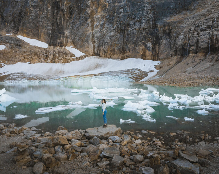
6. Path of the Glacier Trail – Jasper National Park

Hiking Stats
Length: 1.8km
Elevation Gain: 84m
Rating: Easy
Route Type: Out and Back
Location: about 45 minutes south of the town of Jasper – directions here
About The Trail
Path of the Glacier Trail is a fairly short hike with a mix of natural and paved paths that lead you to a turquoise glacier-fed pond at the base of the stunning Mount Edith Cavell and a great view of Angel Glacier!
This is probably my second favourite view in Jasper National Park so far. Not many short hikes take you up close to a glacier, like this one.
The trail starts off as a paved path that goes on a steady, but pretty easy incline. The path will lead you to a viewpoint where there will be a sign warning hikers to not walk down to the glacier pond due to the risk of flash-flooding. We decided to go down anyways at our own risk.

There are plenty of amazing views along the way of mountains and tiny creatures running around in the rocks. There will be a spot where the trail forks off into two. Just keep right and you will continue to the viewpoint.
For a more challenging trail that gives views from a higher viewpoint, try out the Cavell Meadows hike to East Ridge Summit.
I prefer Path of the Glacier Trail because I wanted to get up close and personal with the turquoise pond. There’s just something so thrilling about feeling so small next to such a big mountain!
7. Peyto Lake Panorama Overlook – Banff National Park

Hiking Stats
Length: 2.4km
Elevation Gain: 84m
Rating: Easy
Route Type: Loop
Location: Near Lake Louise – directions here
About The Trail
You absolutely must not miss this lake if it is open during the time of your trip to the Canadian Rockies. This hike is a short loop trail that takes you to a breathtaking overlook of Peyto Lake.
The hike is super easy and pretty busy due to the fact that it is becoming more and more touristy. It is the perfect lake to watch the sunset.

No, you won’t be right on the lake like Lake Louise or Moraine Lake, but the lookout point is absolutely mesmerizing. Be prepared for a lot of tourists here as it is a heavily trafficked trail.
8. Rock Isle Via Sunshine – Banff National Park

Hiking Stats
Length: 8.0km
Elevation Gain: 316m
Rating: Moderate
Route Type: Loop
Location: Near Banff – directions here
About The Trail
This is another one of the best hikes in the Canadian Rockies! To get to this trail you either have to take a gondola up, or you can hike up and down the gravel access road which is another 6km each way. Nevertheless, the trail is most definitely worth the hike!
The gondola is reopening for this summer coming – 2022. The Sunshine Standish Chairlift takes about 8 minutes to get you to the top, and runs from 8:00 am to 5:00 pm. It costs $45 CAD for adults, $42 for seniors, $23 for youth/children and is free for toddlers.

There are a few different trail directions up in these mountains, but whichever trail you choose up here is a good choice! The trails are mostly dirt paths which in my opinion is a lovely type of path.
There are tons of wildflowers everywhere, and you will be completely surrounded by mountains in the distance. Rock Isle Lake has some benches where you can sit down, relax and have a snack at. It is definitely a lovely sight and worth stopping at to snap a couple of photos – or in my case… like 100.
The elevation gain may be 316m, however, when you’re at the top the hike is fairly easy. It’s almost like taking a stroll. Up here there is so much to see like lakes, rolling hills, and mountains!
Tip: Bring a meal, if not a snack! You’ll be out for awhile!
9. Emerald Lake Lodge Loop – Yoho National Park

Hiking Stats
Length: 5.1km
Elevation Gain: 122m
Rating: Easy
Route Type: Loop
Location: Yoho National Park – directions here
About The Trail
Emerald Lake is a serene glacial lake that has a stunning vibrant turquoise colour. It is surrounded by massive mountains which I didn’t see at first due to all the fog the day I went! There is a wooden bridge that crosses part of the lake taking you to an island with a restaurant called Cilantro and Emerald Lake Lodge.

This hike starts off as a paved trail through a lovely forest with openings overlooking the lake. The trail eventually turns into a gravel path, and later even has some boardwalks through the magical forest! Parts of this hike actually make you feel like you’re walking through a jungle with all of the unique plants!
This trail is so diverse as it features a lake, views of mountains, an avalanche path, dense forest, and meadows. You literally have it all!
10. Ink Pots via Moose Meadows – Banff National Park

Hiking Stats
Length: 11.6km
Elevation Gain: 529m
Rating: Moderate
Route Type: Out and Back
Location: Near Lake Louise – directions here
About The Trail
This is a moderately trafficked trail, so expect to see some other hikers here. It isn’t heavily trafficked which is nice, so that means some good ol’ peace and quiet!
At the start of the trail, you will be walking down a path through the forest. There are some parts of the trail that are more difficult so be mindful of where you are stepping.
Once you arrive at the Ink Pots, you can enjoy venturing the area with boardwalks and different coloured tiny water holes! These Ink Pots are part of the reason why I have included this hike on my list of best hikes in the Canadian Rockies!

The trail continues passed the Ink Pots and leads to a river with a massive mountain in the back. I believe the trail does continue as a much longer hike for those who are doing an overnight hike so try not to venture too much further from the Ink Pots.
Another way to get to the Ink Pots is via Johnston Canyon Trail. This trail has a lot more hikers on it which is why I opted for the more peaceful Moose Meadows. Johnston Canyon does have some pretty gorgeous views though! Both are definitely worth the hike!
Tip: Bring a meal or snack and enjoy the views at the Ink Pots. It’s a lengthy trail so food and water is definitely recommended!
Save this post for future Canadian Rockies trip planning!
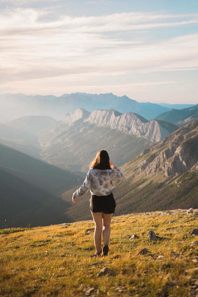
11. West Wind Pass – Kananaskis

Hiking Stats
Length: 4.7km
Elevation Gain: 356m
Rating: Moderate
Route Type: Out and Back
Location: Near Canmore, Alberta – directions here
About The Trail
Kananaskis has some of the most breathtaking and best hikes in the Canadian Rockies. I, unfortunately, didn’t get to explore Kananaskis very much due to the forest fires at the time, as well as my very short time in the Canadian Rockies after discovering the existence of Kananaskis!
West Wind Pass is definitely a hike you’ll want to add to your Canadian Rockies bucket list!
At the top of this hike, you get an epic view of the lake below. You should expect to spend quite a bit of your time on steep slopes.
It can be pretty easy to lose track of where the trail goes on this hike, as there are several different forks in the trail. I’ve had to backtrack once or twice. So be sure to follow the neon ribbons in the trees if they are still there. Or download the AllTrails app like I did and download the map!

Hiking poles: recommended! And be prepared for high winds on the summit!
The summit views are most definitely worth the hike up!
Tip: Bring lots of water! Trust me you’ll need it. You can also pack a meal or snack and enjoy the view at the top!
12. Sulphur Skyline Trail – Jasper National Park

Hiking Stats
Length: 7.9km
Elevation Gain: 653m
Rating: Hard
Route Type: Out and Back
Location: Near Jasper, Alberta – Miette Hot Springs – directions here
About The Trail
I definitely had to add this hike to my list of the best hikes in the Canadian Rockies since it is my absolute favourite hike I’ve ever done there so far! Hiking poles are definitely recommended for this hike!

Be prepared to ascend this hike on steep incline switchbacks for a good portion of the hike. Once you get out of the treeline, there will be a short break from the incline in an open area with stellar views! You can take a break on a bench up here and enjoy the view for a little bit to catch your breath before continuing the journey!
Then, it’s time for more incline and hiking up the side of the mountain. This part gets very steep and there is some loose gravel hiking up this rock. But once you get to the top, you will be so glad you did this hike!

You’ll have 360° panoramic, jaw-dropping, expansive, surreal views. There are not enough words to describe the views you get up here. If I used them all, you would be reading for an eternity!
Goats! Goats! And more goats! We’ll actually… I thought they were goats anyways until I found out they’re actually bighorn sheep!
Both times I have done this hike there were tons at the top of the mountain scaling the mountainside and grazing in the fields on top of the mountain. They seem to be friendly but make sure to keep a proper distance from them. Otherwise, you can just keep on enjoying the views!

The hike is located at Miette Hot Springs which is the perfect opportunity for you to soak up and relax after a long days hike. It costs $7.75 CAD for adults, $6.75 for youth, free for children under the age of 3, and $6.75 for seniors. I didn’t get the chance to take a dip since I was always at the summit for sunset.
Click to read my full guide to hiking Sulphur Skyline Trail, Jasper!
Tip: Bring a meal or snack and enjoy the epic view from the top! And be careful on your way down that mountain incline - that loose gravel can be very dangerous!
Conclusion: The Best Hikes In The Canadian Rockies
This is my list of the best hikes in the Canadian Rockies. There are so many more beautiful hikes in the Canadian Rockies that I haven’t had the time to explore yet! But that’s okay, I’ll see them next time I’m out there. If you happen to do any of these hikes I would love to hear all about it!
Don’t forget to read my full guides on Jasper National Park and Banff National Park by clicking on the photos below once you’re done here!
Thank you for stopping by, and happy adventuring ♡
Krista x.
Enjoyed this post? Pin it for later on Pinterest